Postgraduate Studies
The Department of Surveying Engineering and Geoinformatics of the University of Western Attica organizes and re-establishes from the academic year 2018-2019 the Postgraduate Studies Program entitled “Geospatial Technologies”.
Object of the MSc are the Geospatial Technologies, ie the branch of science that refers to the collection, processing, management, display and interpretation of geo-referenced information relating to the natural and man-made environment.
Purpose of the MSc is to provide specialized knowledge on rapidly evolving cutting-edge technologies that concern the areas of Geomatics and Geoinformatics, such as
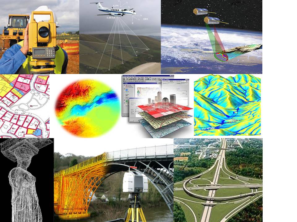
- 3D spatial data collection using satellite, aerial and terrestrial digital sensors (common digital cameras and aerial photomachines, mobile mapping systems, unmanned UAV aircraft, satellite sensors, radar systems, LIDAR, laser scanners), transformation and merging of data from different sources
- automated image processing and analysis methods
- satellite high-precision tracking and satellite navigation – GNSS systems
processing and management of 3D data and surface models, 3D mapping, representation and visualization of the space - monitoring changes in the geometry and gravitational field of the Earth
- management, description, representation, analysis and interaction of quantitative, qualitative and semantic spatial data and phenomena (geographic information)
- advanced methods for processing and analyzing spatial data.
The training process at the MSc. includes lectures, seminars, laboratory exercises / field exercises, study and analysis of bibliography. The aim is at the same time the theoretical deepening and the broadening of the students’ skills by dealing with demanding real applications through the modern approaches and technologies of Geomatics / Geoinformatics.
In particular, program graduates will be familiar, theoretically and practically, with all modern geospatial technologies and methods, and will be able to design and deal with all relevant Geomatics / Geoinformatics applications involved in an interdisciplinary framework for solving techniques but also economic, developmental and social problems.
The MSc. awarding a Master’s degree in “Geospatial Technologies”.